What we do

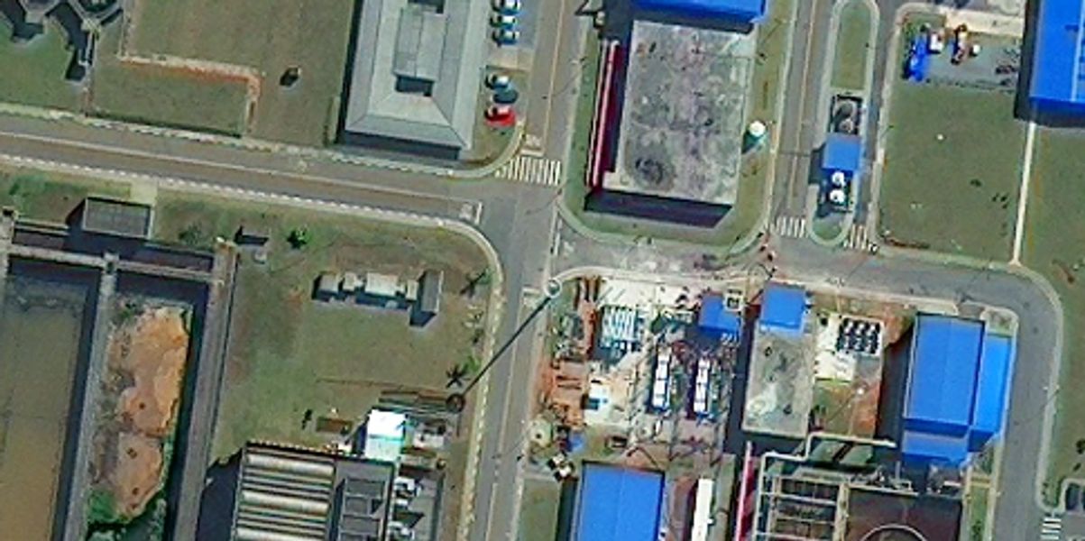
Satellite imagery
Leveraging the broad variety of satellite data sources available. GIG, the MAPSGEO’s representative in Egypt, offers expertise and turn-key solutions in a variety of application domains, including: Oil & gas, mining: natural seep detection to reduce risk of new exploration, infrastructure site selection and route planning, monitoring of subsidence and environmental impact assessments. Read More

Crowdsourcing
Utilizing the open source datasets via web Geoportal to enable more public engagement and participation to measure their satisfaction ...
Read More

Consultancy
GIG will provide consultancy services in the field of Geoinformatics including GIS, remote sensing, environmental studies,
Read More

Innovative GIS
GIG innovative solutions will be based on the integration of Geospatial technologies with the advanced modern technologies
Read More

Geospatial-based projects
Implementing different Geospatial projects in a collaborative environment. This will enable end-users to easily follow up
Read More
Get In Touch

Contact info
Rayhana Plaza Tower, RPC 2/3, Zahraa El-maadi
Cairo - Egypt


