
Our Technolgies
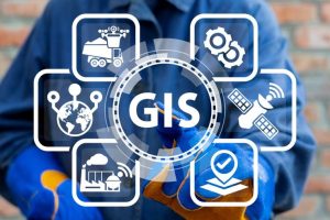
Geographic information System (GIS):
Geographic Information Systems (GIS) are powerful tools for capturing, storing, analyzing, and presenting geographic data. In GIG, we use GIS to turn complex data into actionable insights. GIS creates maps and models to aid decision-making in urban planning, environmental management, transportation, and more. It allows precise tracking and management of resources, enhancing data accuracy and supporting sustainable development. GIS empowers organizations to make informed decisions, ensuring efficient operations and improved quality of life.
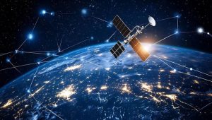
Remote Sensing (RS):
Remote sensing involves acquiring data about Earth's surface from a distance, typically via satellites or aircraft. In our company, we utilize this technology to gather critical information for environmental monitoring, urban planning, and resource management. Remote sensing allows us to detect changes, analyze patterns, and provide real-time data, facilitating informed decisions and sustainable development. By utilizing the power of remote sensing, GIG delivers precise and comprehensive insights for various applications.
Geographic Artificial intelligence (Geo-AI)
Geographic Artificial Intelligence (GeoAI) combines AI and geospatial data to analyze and interpret spatial information. utilizing machine learning and deep learning techniques, GeoAI enhances geographic information systems (GIS) by automating data processing, extracting insights, and predicting spatial patterns. Applications include urban planning, environmental monitoring, and disaster management, optimizing decision-making and resource allocation.
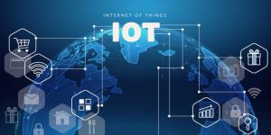
Digital Twins & Internet of Things (DT & IOT
Digital Twins and IoT (Internet of Things) involve creating virtual replicas of physical objects and systems. This technology utiliz IoT devices to collect real-time data from the physical world, which is then used to simulate, analyze, and optimize performance. Applications span industries from manufacturing to smart cities, enhancing efficiency and predictive maintenance.
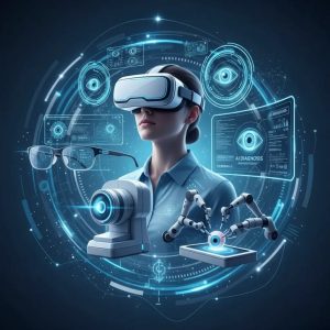
Augmented Reality (AR)
Augmented Reality (AR) integrates digital information with the physical world in real-time. Using devices like smartphones and AR glasses, it overlays virtual elements onto the real environment, enhancing the user's perception and interaction with their surroundings. Applications range from gaming and education to industrial maintenance and navigation, revolutionizing how we engage with the world.
Open- Building Information Modeling (Open-BIM)
Open-Building Information Modeling (Open-BIM) promotes universal collaboration in the architecture, engineering, and construction (AEC) industries. By using open standards and workflows, Open-BIM ensures seamless data exchange and interoperability across different software platforms, enhancing project efficiency and transparency throughout the lifecycle.