Imagine Beyond Boundaries
Our Projects
The Nile Delta and Wadi, Egypt
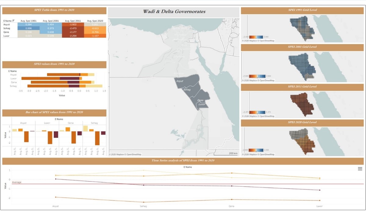
Climate Change Assessment and its Impacts on the Nile Delta and Wadi, Egypt
Project -Based Training program in corporation with (Regional Training Center for Water Resources and Irrigation (RCTWS), Egypt (12/2025-01/2026)
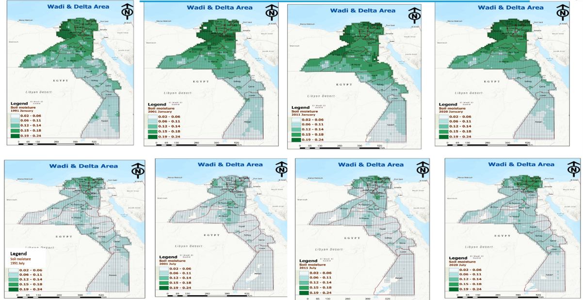
Aim of the project: This project aims to carry out advanced analysis and indices to monitor climate change and its impacts on the Nile Delta and Wadi study area. The main climate change parameters are:
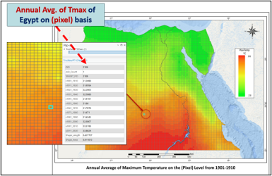
- Maximum temperature
- Precipitation
- Evapotranspiration
- Soil moisture
The project also studied the potential impacts of climate change on the study area, especially identifying the areas that are affected by drought using the relevant Drought indices, in addition to monitoring the Vegetation Health variation on the study area.
Assessment of Climate Change Impacts on the Egyptian Deserts
(Project Reference Number: UNDP-EGY-00328-3) - United Nations Development Program (UNDP), Cairo, Egypt (12/2025-06/2026)
Aim of the project: It aims at collection and inclusion of various environmental components and leverages modern technologies to understand and address the effects of climate change in Egypt’s arid regions, and proposing the suitable sustainable mitigation and adaptation measures
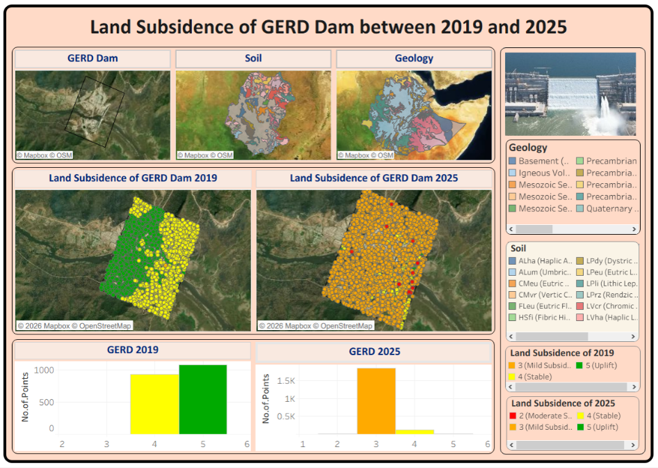
Monitoring the Land Subsidence in the Grand Ethiopian
Monitoring the Land Subsidence in the Grand Ethiopian Renaissance Dam (GERD) Area using Radar Satellite Imagery as Part of an Early Warning System
Project -Based Training program in corporation with (Regional Training Center for Water Resources and Irrigation (RCTWS), Egypt (04/206- 06/2026)
Aim of the project: This project aims at monitoring the land subsidence in the Grand Ethiopian Renaissance Dam (GERD) area at multiple times using radar satellite imagery (Sentinel-1). This project concentrated on analyzing these RADAR images before and after the filling of the GERD reservoir (Lake Negate) to monitor any changes or potential land subsidence in the dam area, which contributes to determining the stability and strength of the dam and its ability to withstand the risks of cracking or collapse as part of a future early warning system.
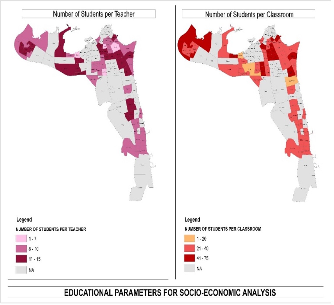
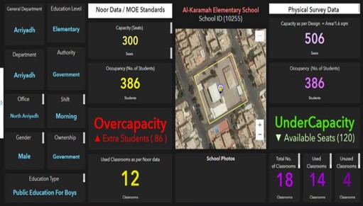
Management of Educational Facilities
GIG has a role of Executive Consultant to Implement the Master Plan for Property Management of Educational Facilities, Saudi Arabia. Our mission on this project is a consultancy work to support the project team to implement a National Master Plan for the educational properties in Saudi Arabia.
- Duration of the project: 30 Months- (August 2018- May 2021).
Interactive Dashboard
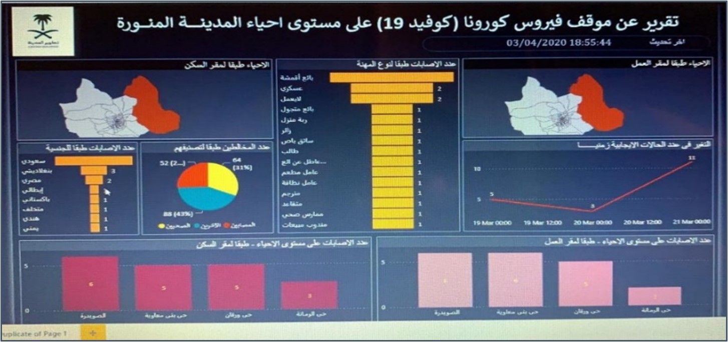
The GIG experts and developers were working together with the MDA team and under their supervision to build the Dashboard and its functionality that needed to support the decision-makers. The project is mainly to provide the decision-makers with an interactive Dashboard to support them in managing the COVID-19 outbreaks. The COVID-19 Dashboard was developed based on the following technologies: Django, JavaScript, and Leaflet.
- Duration of the project: 3 Months (March 2020- May 2020)
Information and Decision Support Centre
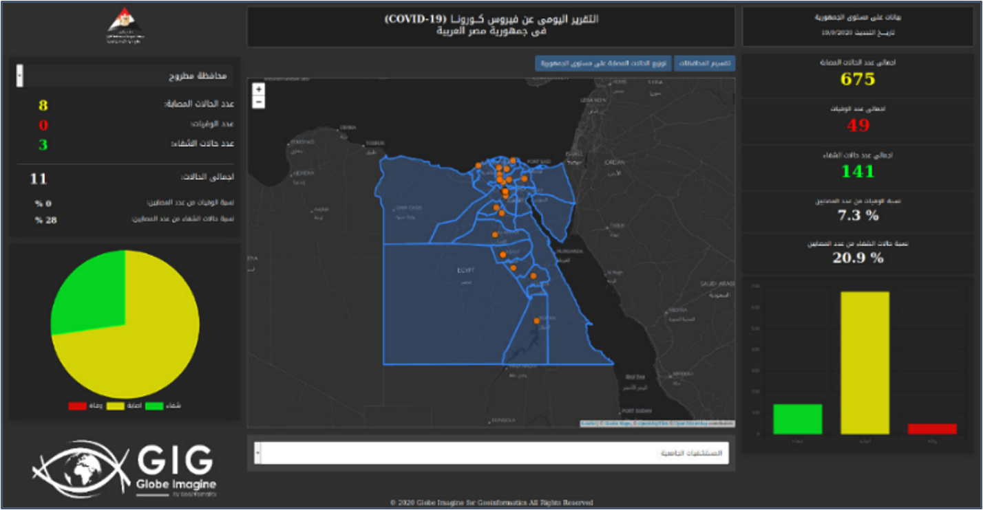
The GIG experts and developers were working together with Crisis Management Center, Information and Decision Support Centre (IDSC), Egypt. The aim is to prepare the Crisis Management Centre inside IDSC with very accurate information through an interactive GIS-based COVID-19 Dashboard and provide such information to the decision-makers inside the Prime Cabinet for better management.
- Duration of the project: 4 Months (March 2020- June 2020)
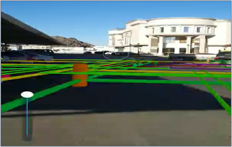
The Visualization of Underground Utility
The GIG experts and developers were working together with Almadina Almunawarah Development Authority (MDA) in a project “The Visualization of Underground Utility using Augmented Reality (AR) Technology pilot project” was carried out using the vGIS Software as the most sophisticated Augmented Reality Software all over the world. The case study was distributed on two study areas namely, the streets surrounding the MDA main building, and the second one at Almeghaslah district, Almadina Almunwarah city, Saudi Arabia.
- Duration of the project: 4 Months (Jan 2020- April 2020)
GISCON Middle East
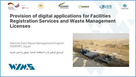
GIG in cooperation with GISCON Middle East start the implementation of the Provision of digital applications for Facilities Registration Services and Waste Management Licenses for Waste Management Regulatory Authority (WMRA). It aims at developing a comprehensive Waste Information Management System (WIMS) at WMRA which enables WMRA to monitor and control the different activities related to waste management through a complete digital solution, in phases approach.
- Duration of the project: 8 Months- (October 2021-June 2022)
Integrated International for Environmental Services
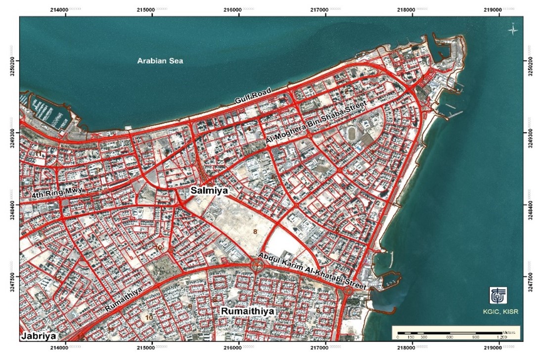
The Surveying and GIS staff were selected and trained inside the Globe Imagine for Geoinformatics company (GIG) to ensure the future quality of digitized maps and the GIS ready data sets that will be uploaded inside the GIS database. The project is mainly to provide the Integrated International for Environmental Services (IIES) company with the needed experts staff in surveying and the Geographical Information Systems (GIS) fields. These staff will be working inside the Kuwait Municipality premises to provide them with all the needed support on digitalization of the available paper maps and drawings and convert them into the GIS ready formats for Kuwait Municipality.
- Duration of the project: 36 Month (February 2019-July 2022)
Educational Atlas System
The Globe Imagine for Geoinformatics company (GIG) is contracted with IIES company to support it in redesign and implementing the Educational Atlas System using and based on the open-source technology. The importance of building the system using the open-source technology is mainly to minimize the future operation and maintenance of the system.
- Duration of the project: 24 Months (March 2021- March 2023)
In this project The GIG will be responsible for the following:
- Redesign and implement the Geodatabase of the Educational Atlas System.
- Redesign and implement the search and quarry capabilities of the system.
- Redevelop the online printing maps capabilities.
- Redesign and implement the Spatial Decision Support System components:
- Educational indicator module
- Site suitability module.