
Globe Imagine
Best Service you'll have
Our Services
Consultation

Glob Imagine for Geoinformatics (GIG) offers decades of expertise to provide exceptional GIS and remote sensing consulting. Led by Dr. Hamdy El Gamily, our services encompass project planning, implementation, data analysis, and system integration. We ensure precision in urban planning, environmental monitoring, infrastructure management, and disaster response. GIG also specializes in feasibility studies, offering thorough technical, economic, and operational assessments. Partner with us for actionable insights and strategic recommendations, backed by Dr. El Gamily's extensive experience and our commitment to excellence.
Training

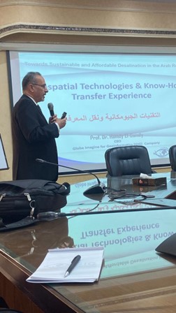
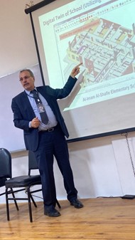
In our company GlobeImagine for Geoinformatics (GIG), we offer specialized training in GIS and remote sensing. Our expert-led programs cover essential topics like data analysis, spatial modeling, and advanced geospatial technologies. We provide hands-on experience to ensure proficiency in the latest industry tools and techniques. Join us to enhance your skills and stay ahead in the rapidly evolving geospatial field.
Satellite imagery

In our company GlobeImagine for Geoinformatics (GIG), we offer a wide range of satellite imagery through our partnership with MAPSGEO. MAPSGEO provides high-resolution optical satellites like Worldview, Pleiades, and Sky SAT, as well as medium-resolution options like SPOT and Planet. They also specialize in synthetic aperture radar sensors, including Capella and Terra SAR-X. Join us at GIG to utilize advanced satellite imagery for your geospatial needs.
Technical Support

In our company GlobeImagine for Geoinformatics (GIG), we offer specialized technical support in geospatial technologies. Our expert team provides system integration, data analysis, software customization, and training to help your organization maximize its potential. Whether for project implementation, troubleshooting, or enhancing geospatial capabilities, GIG is dedicated to delivering the expertise and support you need to succeed.
Data Services
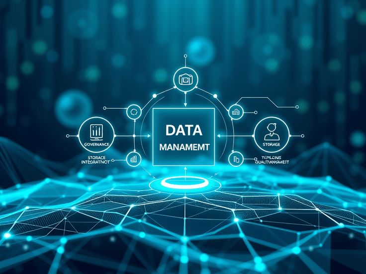
In our company GlobeImagine for Geoinformatics (GIG), we offer comprehensive data services to empower your organization with actionable insights. Our solutions encompass data collection, analysis, and integration, ensuring accuracy and relevance. We specialize in managing geospatial data, enabling you to make informed decisions and optimize operations. With GIG, your data is transformed into a powerful tool for growth and innovation.